|
|
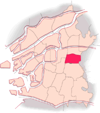
| Ward Overview |
 |
 |
|
Official Flowers of Higashinari-ku
Rose and pansy |
|
|
Higashinari-ku is located in the eastern part of Osaka City, and is adjacent to Joto-ku to the north, Higashiosaka City to the east, Ikuno-ku to the south (bordered by the Kintetsu Line), and Chuo-ku and Tennoji-ku to the west (bordered by the JR Loop Line). The Imazato intersection where major trunk lines converge is approximately in the center of the developing hub of Higashinari-ku. The ward office and many other public offices are located there, including the waterworks bureau, fire station, and police station. In the same area is the Higashinari Ward Center (housing a library), which is a community center. There are many banks and other financial institutions in this zone as well. Public transformation serving citizens of Higashinari-ku include two subway lines that run from east to west and a subway line that runs from north to south, 7 municipal bus routes, JR Osaka Loop Line, and Kintetsu Line. There are 24 parks in Higashinari-ku. The total area of parks is 8.42 hectares, representing an average of 1.07 square meters of park area per resident. This figure is much smaller than Osaka City's average, 3.52 square meters. To narrow the gap, it is necessary to construct new parks and expand the existing parks in Higashinari-ku. Higashinari-ku forms the eastern industrial zone of Osaka City, along with Ikuno-ku, Joto-ku and Tsurumi-ku. Most of the local businesses are small, but contribute largely to district development. Area: 4.55 square kilometers |